The HSSP studio encourages the sharing of ideas, knowledge and collaborative working and today we learnt all about Architect, Mark Geraghty’s, new hobby; trig bagging!
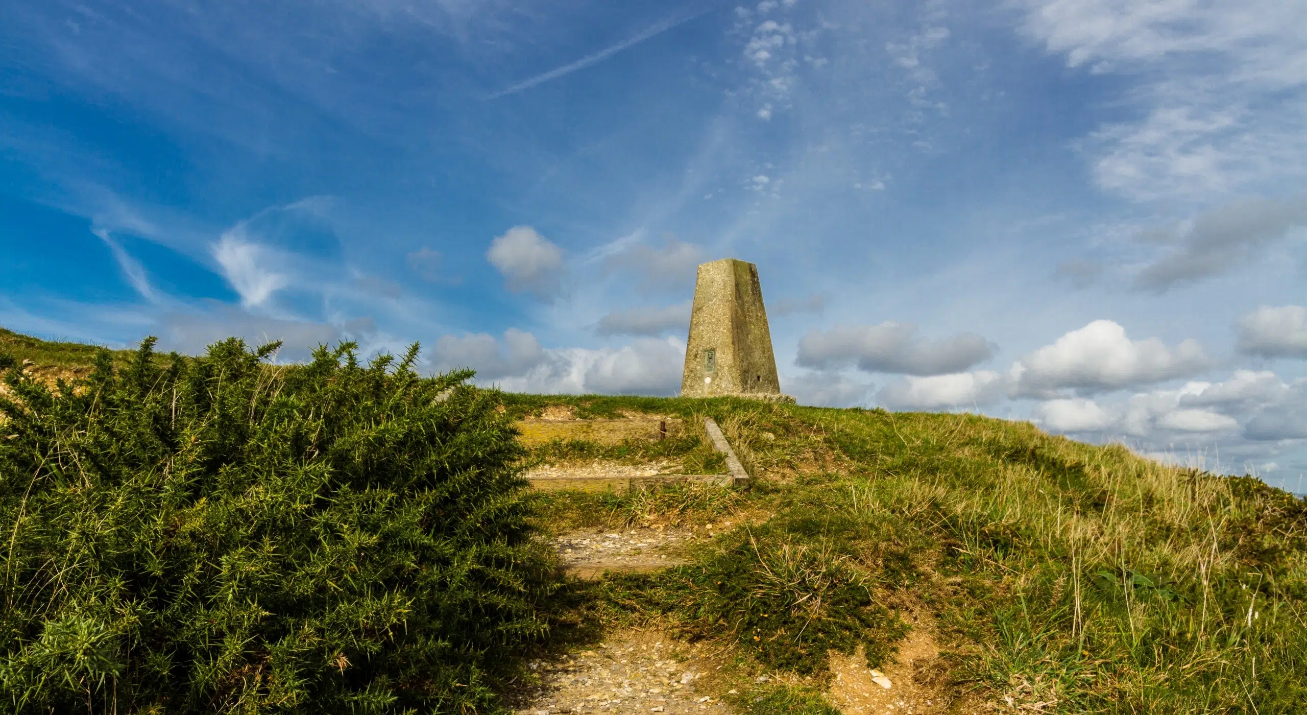
At HSSP Architects, we use Ordnance Survey (OS) maps all the time, so it was interesting to hear all about OS triangulation pillars aka trig pillars, their history and what became of them. You too may have seen one on your travels but are not sure of its significance.
First introduced in 1936, trig pillars unified mapping and led to the introduction of the British National Grid, which is a system of geographic grid references which is still in use today.
Generally made of concrete or cemented natural stone, a theodolite was mounted on the top of the pillar to take the necessary readings from a solid base, with the readings then in turn mathematically interpreted to map distances and elevations.
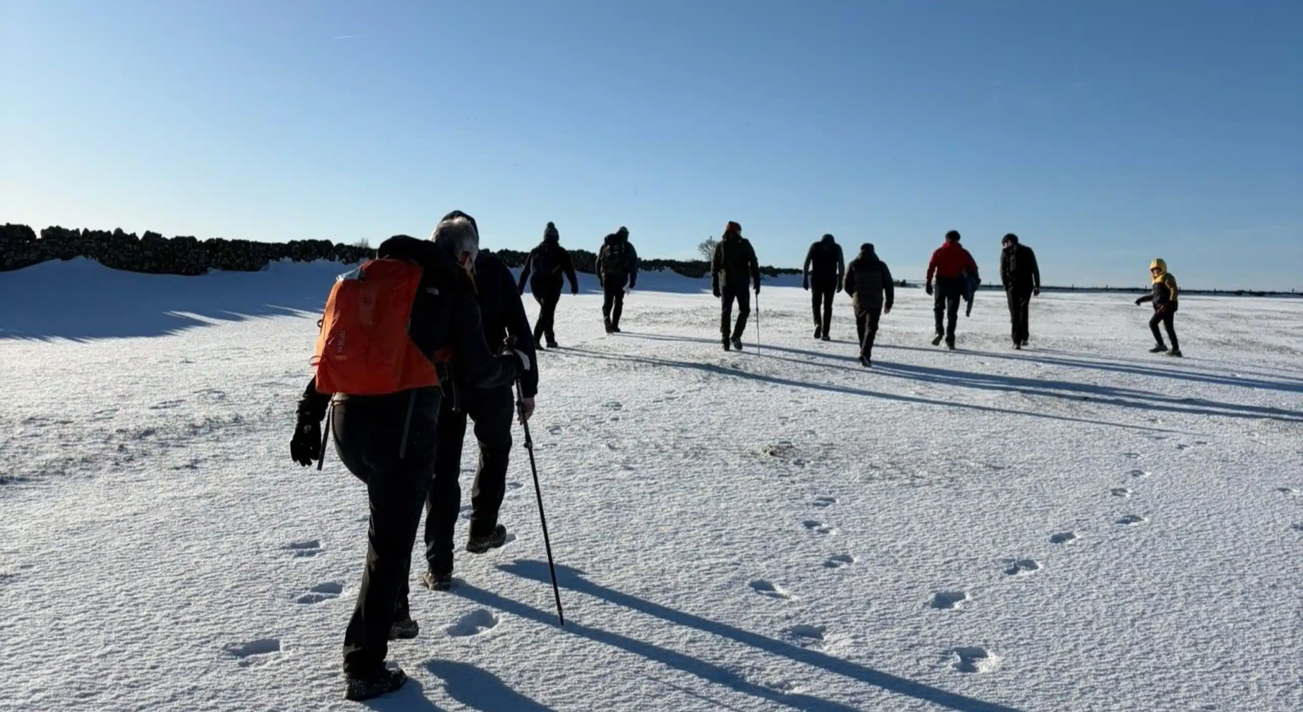
6,500+ pillars were built and around 5,500 remain. With satellites taking over, the trig pillars ceased their intended use, but they are not forgotten as trig bagging is the hobby of visiting the pillars and ticking them off a list. Some are nestled on roadsides and are easy to find, whilst others involve a walk or a hike to the top of a hill – all good exercise!
Of the remaining pillars, Ben Nevis is the highest, with Little Ouse in Cambridgeshire being the lowest. Some are sadly unloved and cast aside in fields, whilst others are pampered and regularly cared for, and in Monk Bretton in Barnsley, they have painted theirs into a minion in all its yellow and blue glory!
Take a look on the OS’s website blog for more fascinating facts: https://www.ordnancesurvey.co.uk/blog/trig-pillar-trivia
By HSSP Architects